
- Home»
- Ads Narowal»
- Services Narowal»
- Other Services Narowal» Civil Surveyor course in Narowal
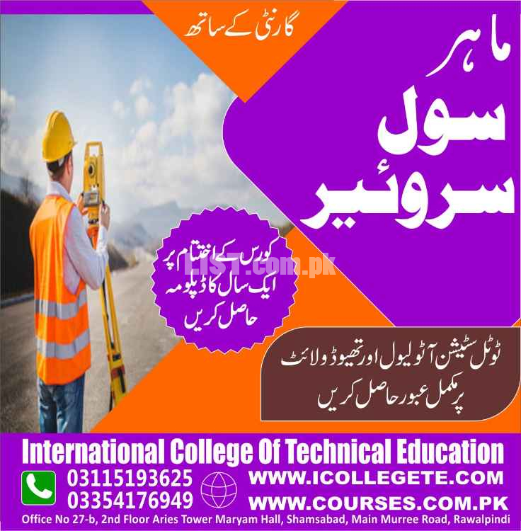
Civil Surveyor Course In Narowal

Narowal
City
City
Punjab
Region
Region
Civil Surveyor course in Narowal Services in Pakistan
Civil Surveyor course in Narowal
This course will prepare the trainees to conduct surveys of buildings, roads, bridges, airports, drains, sewer lines, water supplies, canal, dams, railway lines, oil & gas pipe lines, and urban/rural development projects.
Civil Surveyor course in Narowal
Civil Surveyor Course In Mandi Bahauddin Punjab
Civil surveying is an engineering operation that involves assessing and recording details about an area of land. These observations can then be used to help plan construction projects. The main purpose of surveying in civil engineering is to determine the three-dimensional relationships between different locations.
Surveying is the general term, which covers a myriad of disciplines, such as Geodesy, Photogrammetry, Cartography, GIS, Digital Mapping, Cadastral Surveying, etc. Surveying Engineers or Surveyors collect, analyze, and manage the global spatial infrastructure.
Surveying is involved in everything — from accurately drawing boundaries between private and public land, to inspecting bridges and other critical infrastructure. Without surveying, the placement, security, and safety of projects cannot be assured
Civil engineers are responsible for designing, constructing, and maintaining infrastructure such as roads, bridges, and buildings. Land surveyors, on the other hand, are tasked with measuring and mapping land, as well as delineating property boundaries.
Civil Surveyor course in Narowal
Civil Surveyor Course In Mandi Bahauddin Punjab
Surveyors should also possess the following specific qualities:
Communication skills. Surveyors must provide clear instructions to team members.
Detail oriented.
Physical stamina.
Problem-solving skills.
Technical skills.
Time-management skills.
Visualization skills.
Objectives:
1. Develop an understanding of the basic principles of surveying including the Traditional
measurements and representations as well as such modern techniques as Global
positioning.
2. Integrate CAD techniques and tools into the application of basic surveying principles.
3. Gain an appreciation for the importance of the survey database in all phases of a project.
Learning Outcomes:
topographic map in moments.convert measurement units used topography.calculatea length or area on the map in the real value.recognize measuring instruments used in basic and telescopic sight Nivo, theodolites, Total Station v.s
use basic measuring instruments Jalon, steel yards, plumb, etc.accurately measure the length.apply perpendicular to the prism angles.define measurement scale map of the area draws.calculate land using different methods
Civil Surveyor course in Narowal
Civil Surveyor Course In Mandi Bahauddin Punjab
https://www.icollegete.com/civil-surveyor-course-in-peshawar/
https://www.icollegete.com/civil-surveyor-course-in-baghajk/
Address Detail:
ICTE
International College of Technical Education Pvt. Ltd
Head Office :
Office # 27, Second Floor, Maryam Shadi Hall Plaza
Airies Plaza, Shamsabad, Murree Road,
Rawalpindi, Pakistan 46000.
For Registration:
Email : [email protected]
Contact : 051-6122937, 0311-5193625, 0092-335-4176949
Websites:https://www.icollegete.com/ , https://ictepakistan.com/ , https://icollegete.com.pk/
Civil Surveyor course in Narowal services are available in Pakistan at affordable price.
|
|
Other Services Services Related Ads

Diesel Engine Generators Manufacturers Exporters
Services » Other Services
Punjab, Chishtian
Punjab, Chishtian
21-11-2025 09:25

Professional SEO Courses Lahore | Learn Advanced SEO Training
Services » Other Services
Punjab, Lahore
Punjab, Lahore
19-11-2025 15:20

10L Medical Oxygen Cylinder Supplier
Services » Other Services
Punjab, Lahore
Punjab, Lahore
14-11-2025 06:45

Professional Solar Panel Cleaning Services In Karachi | Monthly & Year
Services » Other Services
Sindh, Karachi
Sindh, Karachi
10-11-2025 20:42

SmartHCM Best HR And Payroll Software Cloud Based HRMS
Services » Other Services
Sindh, Karachi
Sindh, Karachi
07-11-2025 11:04
Safety Tips for Buyers
- Meet seller at a safe location
- Check the item before you buy
- Pay only after collecting item
Sania Rajput
Narowal, Punjab, PakistanPhone No. 03115193625