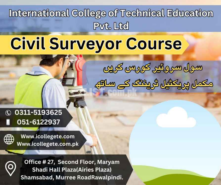
Civil Surveyor Course In Rawalpindi,Shamsabad
City
Region
Civil Surveyor Course In Rawalpindi,Shamsabad Services in Pakistan
This course introduces surveying, civil engineering, and environmental engineering students to basic plane surveying.
It goes over fundamental surveying topics like coordinate systems, contouring, an introduction to road planning, and basic surveying equipment and how to use it.
Land surveyors are in high demand across a variety of industries, including oil and gas, mining, infrastructure, construction, and civil engineering. Civil engineering is most commonly connected with land surveyor education.
Civil Surveyor Course Content
Introduction Civil A Surveyor
Classification of survey
Principles of survey
Chain survey
Plotting of chain survey
Compass survey
Bearing system
Drawing Scales
Types of scales
Leveling
Technical terms
Purpose of Leveling
Plain table survey
Methods of plane table survey
Adjustment of Levels
A land surveying professional is called a land surveyor. These points are usually on the surface of the Earth, and they are often used to establish maps and boundaries for ownership, locations, such as building corners or the surface location of subsurface features, or other purposes required by government or civil law, such as property sales. Use in other areas The Civil surveyor uses his expertise in many other areas, as well as public works, in particular : drawings and maps of all scales and sizes for property development in the field of surveys and land surveying, studies etc, administration and development of territory, urban planning, architecture, environment etc.
A Civil Surveyor course is a thorough education program created to provide students with the abilities and information they need to work as professionals in the land surveying industry. This course is perfect for anybody who wants to further their skills and knowledge in the subject of land surveying or who wants to pursue a career in the construction or civil engineering sectors. A wide range of topics, including surveying methods, measurements, mapping, and geospatial data processing, are covered in the curriculum. Students will gain knowledge of several surveying tools, including total stations, GPS receivers, and laser scanners, as well as how to utilize them to precisely measure and map topographic features.
This course is focused on developing the skills needed to accurately measure land, air and water space. This course program includes extensive field practice in the use of electronic and optical instruments used for measuring distance, elevations and angles from one point to another.In this context, our students experience live work on latest equipment such as lite auto level GPS, total station electronics laser, and lite DTSA.
http://www.icollegete.com/
International College of Technical Education.
Head Office :
Office # 27, Second Floor, Maryam Shadi Hall Plaza
Airies Plaza, Shamsabad, Murree Road,
Rawalpindi, Pakistan 46000.
Email : [email protected]
Contact : 051-6122937, 0311-5193625, 0092-335-4176949
http://www.icollegete.com/course/civil-surveyor-diploma-course-in-rawalpindi-2/
Civil Surveyor Course In Rawalpindi,Shamsabad services are available in Pakistan at affordable price.
|
|
Other Services Services Related Ads

Khyber Pakhtunkhwa KPK, Peshawar

Punjab, Chakwal

Punjab, Faisalabad

Islamabad, Islamabad

Punjab, Rawalpindi
- Meet seller at a safe location
- Check the item before you buy
- Pay only after collecting item


Icte
Chakwal, Punjab, PakistanPhone No. 03115193625