
- Home»
- Ads Lakki Marwat»
- Services Lakki Marwat»
- Other Services Lakki Marwat» #No 1 #Civil Surveyor Course In Lakki Marwat
#No 1 #Civil Surveyor Course In Lakki Marwat
Lakki Marwat
City
City
Khyber Pakhtunkhwa KPK
Region
Region
#No 1 #Civil Surveyor Course In Lakki Marwat Services in Pakistan
This course will introduced the fundamentals of surveying measurements to provide a broad overview of the surveying instrumentation (Total Station, Digital Level), procedures, measurement corrections and reductions, survey datums, and computations that are required to produce a to pographical map or a site plan for engineering and design projects. This course covers three main themes: 1) terrestrial-based survey measurements, 2) space-based positioning (Global Positioning
System (GPS)) and surveying (Remote Sensing) techniques, and automated mapping with
Geographic Information Systems (GIS)
Fundamentals of terrestrial surveying measurements include leveling, distances, and angle
measurements to compute Orthometric heights relative to a vertical survey datum and 2-D Cartesian coordinates in a horizontal survey datum for engineering projects.Topics photogrammetry include photography scale, and coordinate computat.
This course introduces surveying, civil engineering, and environmental engineering students to basic plane surveying.
It goes over fundamental surveying topics like coordinate systems, contouring, an introduction to road planning, and basic surveying equipment and how to use it.
Land surveyors are in high demand across a variety of industries, including oil and gas, mining, infrastructure, construction, and civil engineering. Civil engineering is most commonly connected with land surveyor education.
This course covers a long-standing need for skilled workers in this industry. Land surveyors are also in high demand in other countries. Students from our institution will receive the study materials.
This course introduces students to transportation engineering systems and elementary aspects of civil engineering surveying. The course includes treatment of the following topics in transportation engineering: introduction to transportation systems, pavement design, analysis and modelling techniques for transportation systems, flow theory, scheduling, route planning, demand estimation and economics. Surveying topics include: linear measurement, levelling, theodolite and horizontal and vertical curves.
This course requires field training to complete. The institute has all of the required equipment and facilities to provide field training in the surveying sector. Foreign students might also choose to complete this training in their home country.
This course program includes extensive field practice in the use of electronic and optical instruments used to measure distances, elevations, and angles from one point to another. electronic laser and DTSA light.
Our industry experts, as part of our curriculum committee, review the course outline from time to time and update it based on the latest industry requirements and trends around the world.
The main surveying instruments in use around the world are the theodolite, measuring tape, total station, 3D scanners, GPS/GNSS, level and rod. Most instruments screw onto a tripod when in use. Tape measures are often used for measurement of smaller distances. 3D scanners and various forms of aerial imagery are also used.The theodolite is an instrument for the measurement of angles. It uses two separate circles, protractors or alidades to measure angles in the horizontal and the vertical plane. A telescope mounted on trunnions is aligned vertically with the target object. The whole upper section rotates for horizontal alignment. The vertical circle measures the angle that the telescope makes against the vertical, known as the zenith angle. The horizontal circle uses an upper and lower plate. When beginning the survey, the surveyor points the instrument in a known direction (bearing), and clamps the lower plate in place.
Civil Surveyor Course Content
Introduction Civil Surveyor
Classification of survey
Principles of survey
Chain survey
Plotting of chain survey
Compass survey
Bearing system
Drawing Scales
Types of scales
Leveling
Technical terms
Purpose of Leveling
Plain table survey
Methods of plane table survey
Adjustment of Levels
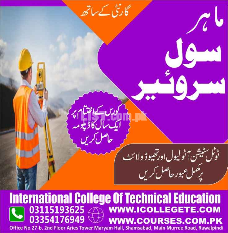
http://www.icollegete.com/
International College of Technical Education.
Head Office :
Office # 27, Second Floor, Maryam Shadi Hall Plaza
(Airies Plaza), Shamsabad, Murree Road,
Rawalpindi, Pakistan 46000.
Email : [email protected]
Contact : 051-6122937, 0311-5193625, 0092-335-4176949
http://www.icollegete.com/course/civil-surveyor-practical-training-course-in-rawalpindi-pakistan/
#No 1 #Civil Surveyor Course In Lakki Marwat services are available in Pakistan at affordable price.
Top Searches
The Truth About The Ketogenic Diet
Jang
Customer Services Rep For Good Work
58 U Block 6 P E C H S Karachi Pakistan
Abudawoodpk Lakki Marwat
Https Boundlesstech Net Logo Design
Master Cool Center
Call Gir
Ilm Lakki Marwat
Safli
Karigar Lakki Marwat
Karachi
Tax Lakki Marwat
Stamps Lakki Marwat
Marriage Lakki Marwat
|
|
Other Services Services Related Ads

Diesel Engine Generators Manufacturers Exporters
Services » Other Services
Punjab, Chishtian
Punjab, Chishtian
21-11-2025 09:25

Professional SEO Courses Lahore | Learn Advanced SEO Training
Services » Other Services
Punjab, Lahore
Punjab, Lahore
19-11-2025 15:20

10L Medical Oxygen Cylinder Supplier
Services » Other Services
Punjab, Lahore
Punjab, Lahore
14-11-2025 06:45

Professional Solar Panel Cleaning Services In Karachi | Monthly & Year
Services » Other Services
Sindh, Karachi
Sindh, Karachi
10-11-2025 20:42

SmartHCM Best HR And Payroll Software Cloud Based HRMS
Services » Other Services
Sindh, Karachi
Sindh, Karachi
07-11-2025 11:04
Safety Tips for Buyers
- Meet seller at a safe location
- Check the item before you buy
- Pay only after collecting item
ICTE
Lakki Marwat, Khyber Pakhtunkhwa KPK, PakistanPhone No. 03115193625